Cortex Prime Technologies

The data already exists.
We build the layer that decides.

Satellites, sensor networks, maps and the systems you already run produce more evidence every day than any organisation can read. We build the AI layer that reads it and answers the operational question. Every answer carries the observations it rests on and the date they were taken.

Cities · Territories · Fleets · Coastlines

The thesis

Five sources of evidence. None of them answers the question.

The argument the company exists to carry. Dashboards report the past. We compute the next decision.

01 Earth observation

Free imagery at continental scale

Nobody hands an administration the answer that comes out of it.

02 Sensor networks

Fleets, meters and buoys stream state

State is not a decision.

03 GIS and public records

Every institution owns maps and documents

It cannot query them.

04 The systems already in place

Scheduling, billing, telemetry

Each correct on its own and disagreeing with the others.

05 Generic AI tools

Fluent about anything

Accountable for nothing, with no model of the physical system underneath.

06 Cortex Prime

The layer in between

A model of the real system, reasoning on evidence, and an answer somebody can sign.

Products

Four systems. One way of thinking.

Each one takes a physical domain nobody has modelled properly, ingests the evidence that already exists around it, and returns a decision with its reasoning attached.

Cities

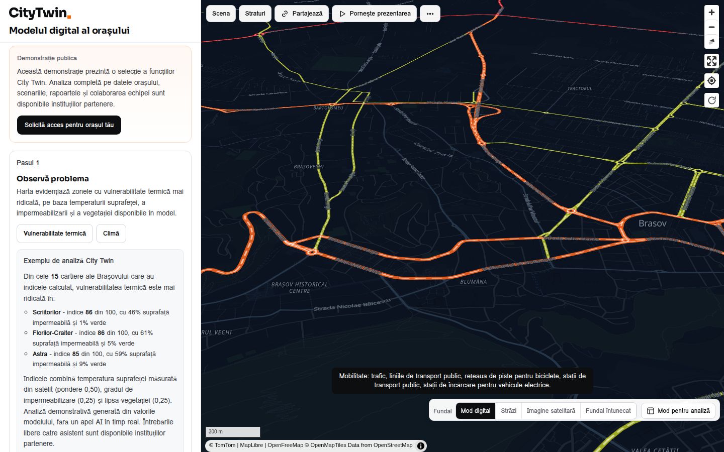
CityTwin

A city modelled from its own documents, open data and maps. Ask it a question and it answers from that model, naming what it used.

Open CityTwin

Territories

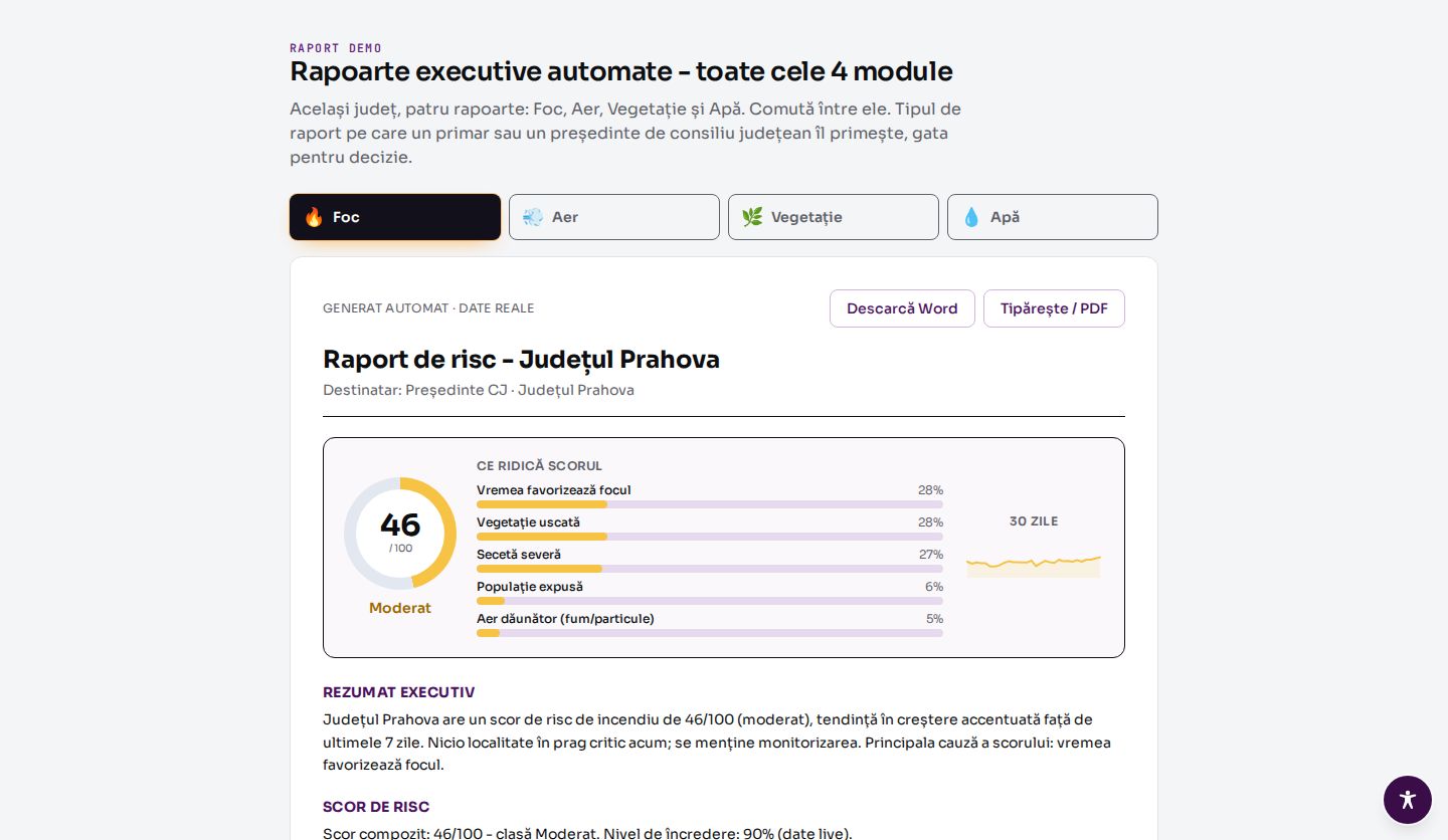
TerraScan

Territorial risk from European earth observation: fire, air, vegetation and water, as one composite that can be taken apart again.

Open TerraScan

Fleets

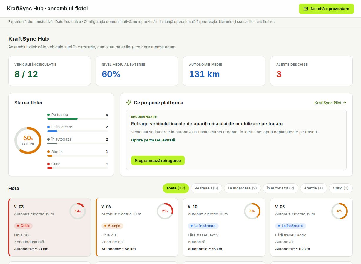
FleetIQ

Electric fleet orchestration: batteries, shifts, charging windows and the energy bill solved as one system rather than four.

Open FleetIQ

Coastlines

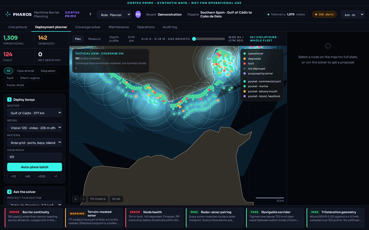
PHAROS

Maritime sensor barrier planning. Coverage, gaps and detection probability computed before anything is placed in the water.

Open PHAROS

Integration

We sit above the systems you already run.

Nothing here replaces a system that works. Scheduling, billing, GIS, telemetry and document stores stay where they are and keep their data. The layer reads them and makes them agree.

01 ConnectRead-only access to the systems that already hold the record, through their own interfaces.
02 ReconcileThe same object under four different identifiers becomes one object, and the disagreements are logged rather than averaged away.
03 ModelThe reconciled record becomes a semantic model of the physical system, owned by the customer, in open formats.
04 AnswerQuestions are put to the model. Answers come back with sources, method and the uncertainty that remains.
GIS and spatial servers SCADA and telemetry Asset and works management Billing and metering Document and records systems Open data portals

How we build

Evidence, citedEvery statement names the observation, layer or document it came from. Missing inputs are declared as gaps, not smoothed over.
Physical constraintsThe model mirrors the real system, so an answer that is physically impossible is impossible to produce.
Accountable outputThe layer computes and shows its work. The signature stays human, and the decision is written to a log that outlives the meeting.

Book a briefing

Bring us the domain and the data you already have.

Tell us the decision you are trying to take and what evidence exists around it. We come back with what the layer would compute, what it would need, and what it would still not know.

Evaluation access carries synthetic data only. Operational deployments run on your infrastructure.